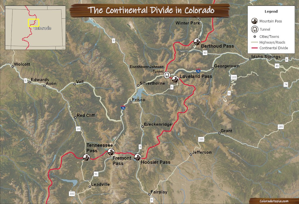
Fremont Pass is located on CO HWY 91, to the south of Copper Mountain where the highway crosses the Continental Divide towards Leadville. The area at the top of the pass is largely occupied by the Climax Mine. This is one of the easier mountain passes to drive over the divide in Colorado.
Once you cross over into Leadville, you can get to both Tennessee Pass and Independence Pass easily. These three passes combine to create the Top of the Rockies Scenic Byway, a route that rarely drops below 9,000 feet in elevation.
Alternate Routes –Hoosier Pass (to the east) and Tennessee Pass (to the west) can both act as alternate routes if Fremont Pass is closed. Both of those routes are paved and intended to be open your-round.
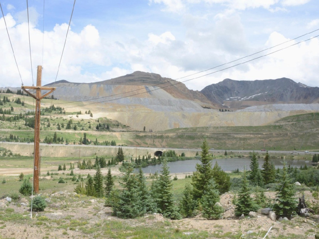
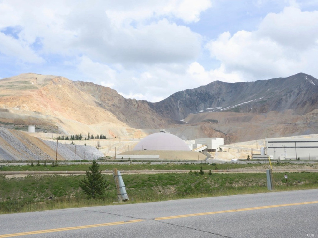
As you drive over Fremont Pass, you will notice that this is likely the most altered portion of the Continental Divide in Colorado. The Climax Mine has changed the contour of the divide here almost beyond recognition.
Most of the Coloradotopia info pages about Colorado’s mountain passes will speak of beautiful views and pristine scenery… but not here. Fremont Pass is covered in mine tailings, acidic retention ponds, and the aftermath of 100+ years of mining.
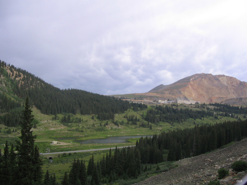
Looking northeast from southern side
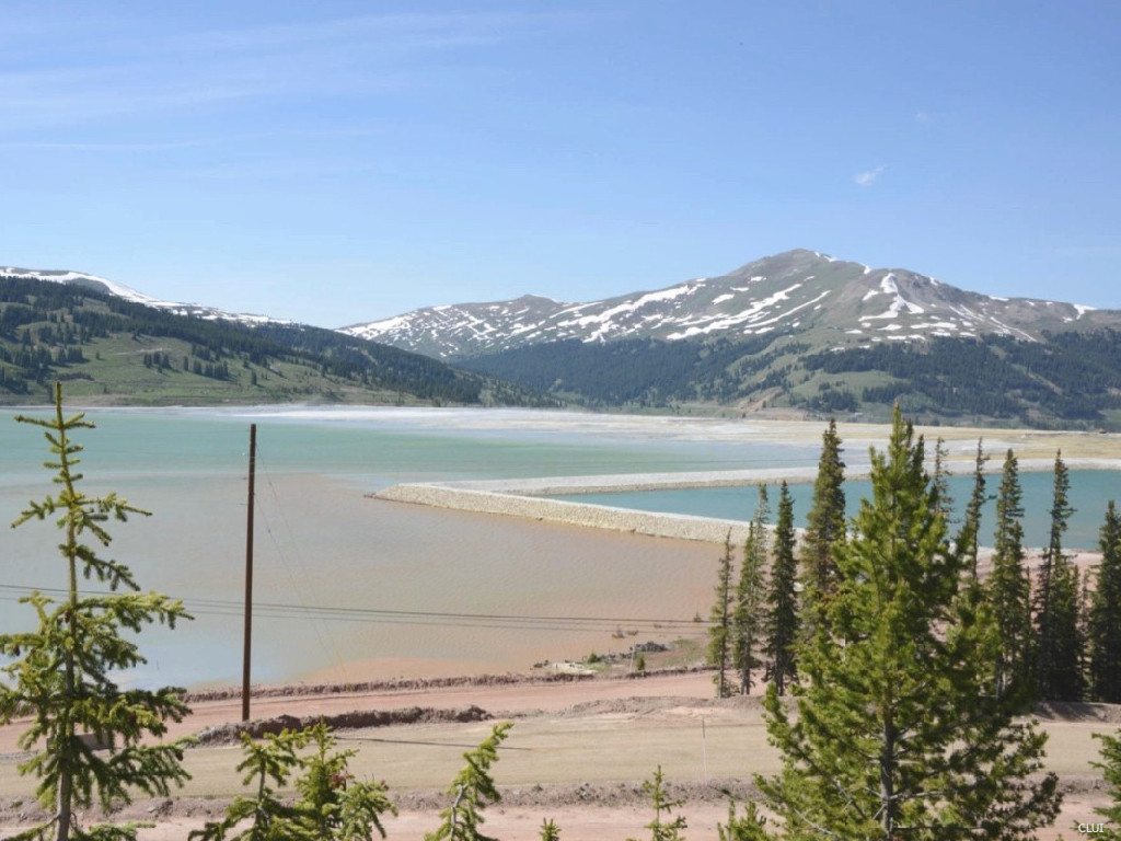
The photo above includes the South Fork of the Arkansas River as it flows through a pond and under the highway on the southern side of this pass. The headwaters of this river are located nearby on Mt. Arkansas.
Fremont Pass is located in an area where the Continental Divide does a zigzag. Right here, the divide runs east-west. The “eastern side” of the continental divide is actually on the southern side of the divide line in this spot.
CO HWY 91, Climax Mine, Buffehr Lake on northern side of pass
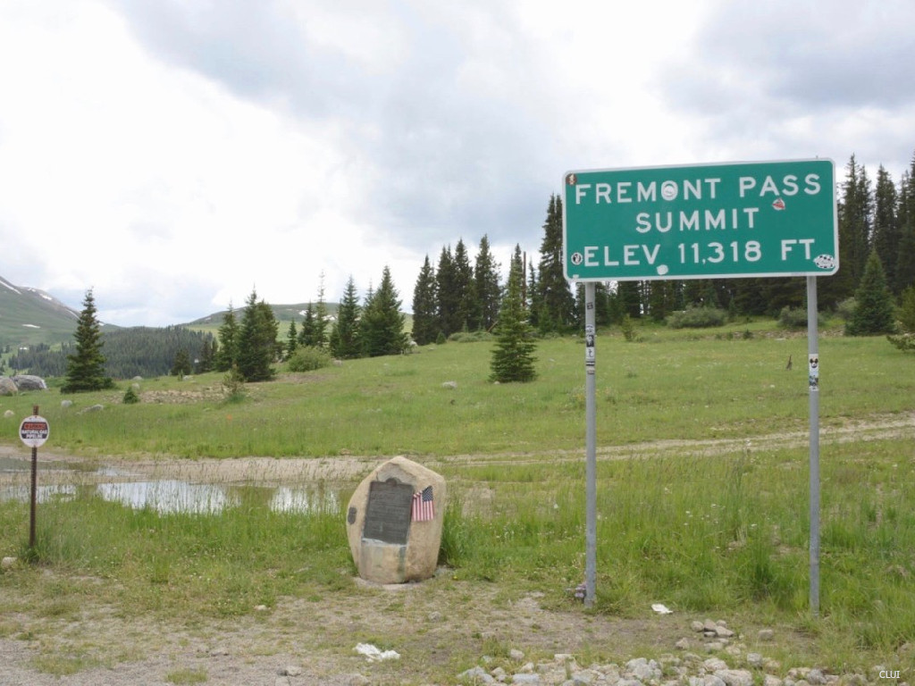
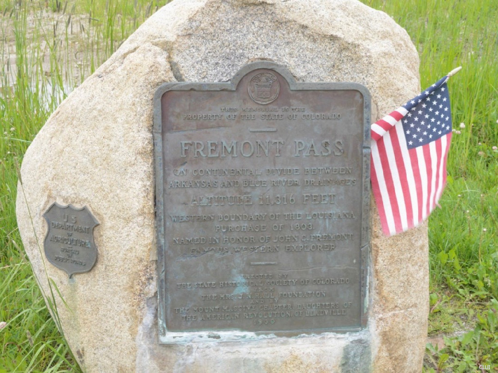
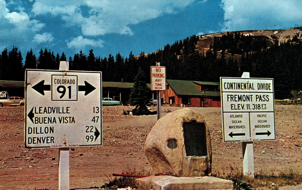
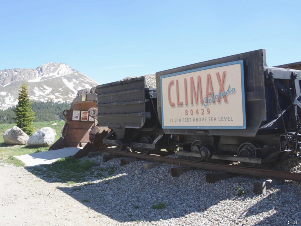
Marker at the top of the pass
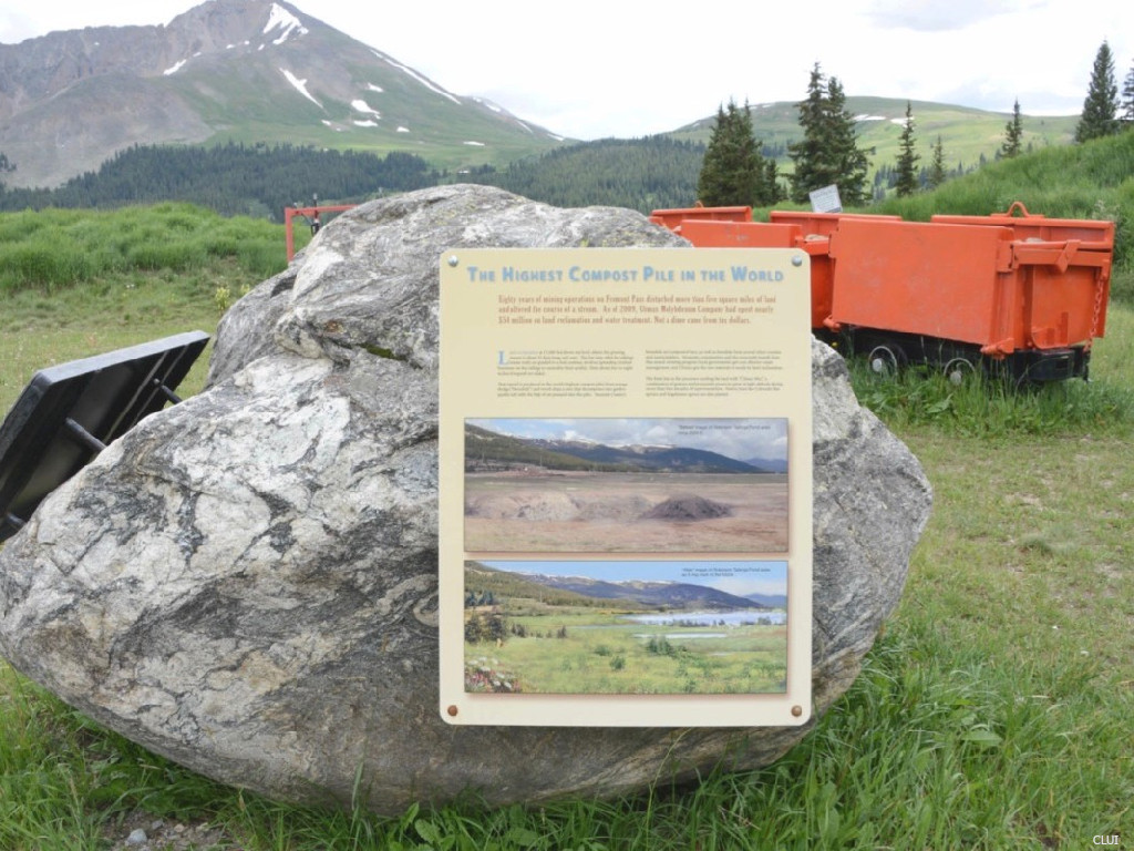
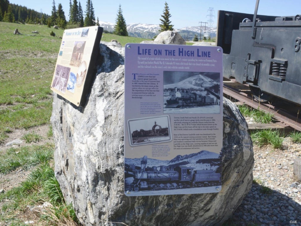
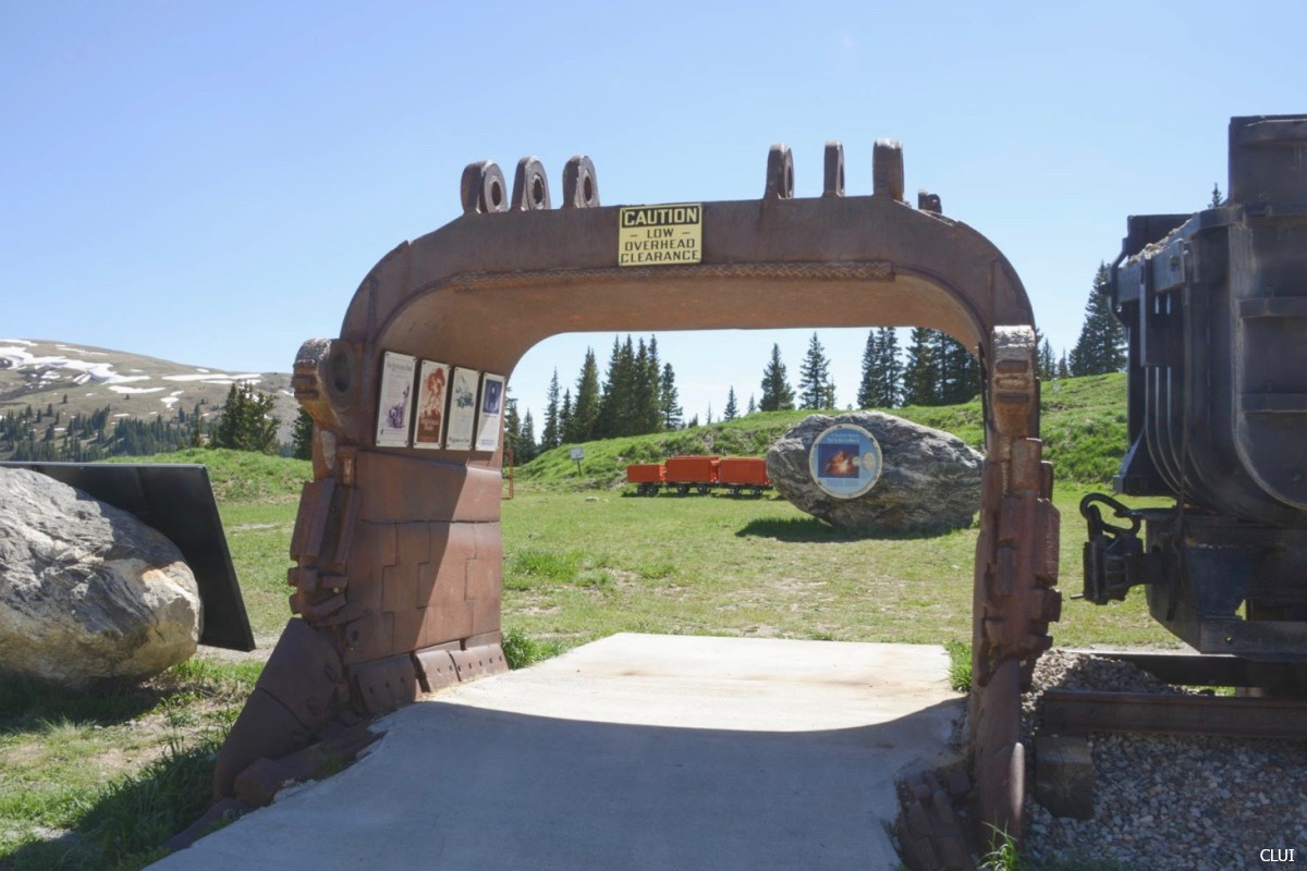
You’ll find a large pull off area at the top of this pass, across the road from the main entrance to the Climax Mine. There are 10+ information plaques here, along with some old mining and railroad equipment that forms a small roadside attraction.
Another info plaque at the top of Fremont Pass
Info plaque commemorating the railway line that traversed this pass for 105 years
Directions from Denver
How do you get to Fremont Pass from Denver? Take I-70 Westbound and get off at the Copper Mountain exit (Exit 195). Head south on CO HWY 91, and you will soon be going over the pass.
The south side of Fremont Pass has a relatively low grade. The north side of the pass is not much steeper. This pass is often used by those traveling between I-70 and Leadville.
You can drive this pass in just over 20 minutes when the weather is good.
Mining retention pond on Fremont Pass
Fremont Pass History
Fremont Pass is named after John C. Fremont, an early explorer who crossed the pass in the 1800s.1
An article in the Rocky Mountain News from 1873 mentions that a roadway is being planned for Fremont Pass, and already refers to the ‘Old Fremont Pass”, a pathway through the area that was already in existence.2
A wagon road here has existed since at least as far back as 1879. By this point, freight and mail was being transported over the pass year-round, with sleighs being substituted for wagons during the winter months.3
By 1917, there were widespread calls to build a modernized highway that would go over Fremont Pass. At this time, molybdenum prices were soaring and people were flocking into this area for the mining boom (including to Breckenridge).
In 1924, the first car drove over Fremont Pass. The new roadway was not entirely completed, and the drive still required driving over railroad tracks for about 1 mile.4
A contract to oil the highway was awarded in early 1936 to C.V. Hallenbeck, with work to be completed by the winter.5
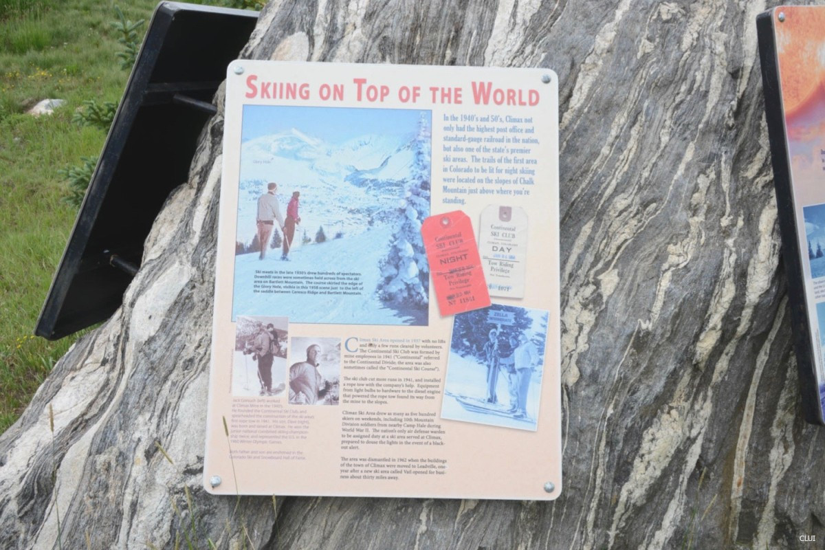
Skiing on Fremont Pass
The mine had a ski area that was opened in 1937, but the first rope-tow would not be installed until 1941. Other sources list an opening date of 1934.6 This was the first ski area in this region.
The Climax Ski Area on Chalk Mountain was fully lit for night skiing in the 1940s and 50s.
The ski area was closed in 1962 when the mine was shut down.
The Climax Mine
Climax Mine History
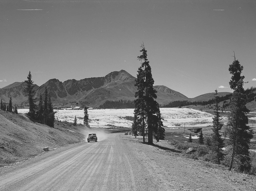
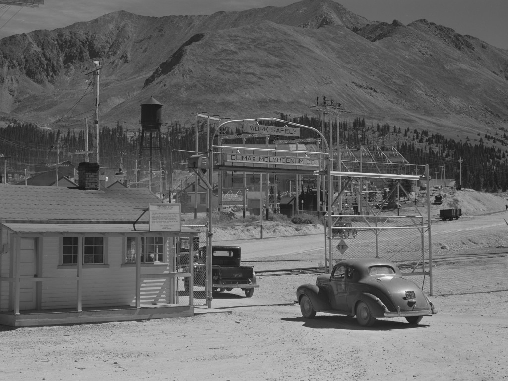
Fremont Pass, 1941
This mine has been opened and closed multiple times, and there are still ongoing operations here today. Profitability of the mine depends on the market prices of molybdenum, so the mine has closed during periods when ore prices were down.
The mine became active around 1915, and as molybdenum prices rose during WWI, the area prospered and saw a mining boom. The mine would close in the 1919 and re-open in the 1920s. The mining company would close its town that was located at the mine in 1962, moving the buildings to Leadville, but the mine would remain in operation until 1995.
In 2012, the mine was opened once again. The first molybdenum shipment went out on May 10, 2012, and the mine continues to operate to this day.7
Unused Postcard by Noble Post Cards, Colroadotopia Archives. CF-29297.