The Continental divide

The Continental Divide is a series of mountains that runs north to south through the Americas. Rivers on the western side will flow towards the Pacific Ocean. Rivers on the eastern side will flow to the Atlantic Ocean. While this east/west division might be the natural flow, the modern Continental Divide in Colorado is a network of irrigation tunnels, reservoirs, and pumps that move water from one side to the other, largely to accommodate the populations of Denver, Colorado Springs, and Boulder.

Map of the Continental Divide in Colorado
Western side of the Continental Divide above Summit County

Continental Divide Photo Gallery

Panorama Photo of the Continental Divide at Loveland Pass
Continental Divide, Top of Loveland Pass

Continental Divide FAQ

Grays Peak is the highest point on the Continental Divide in Colorado, as well as the highest point on the divide in all of North America.

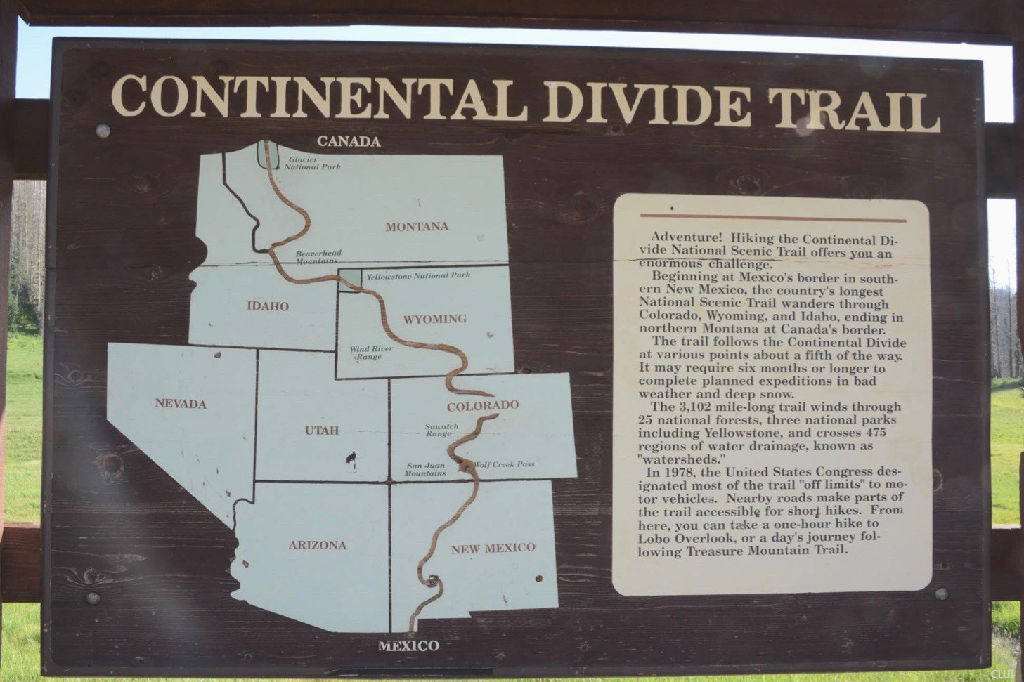
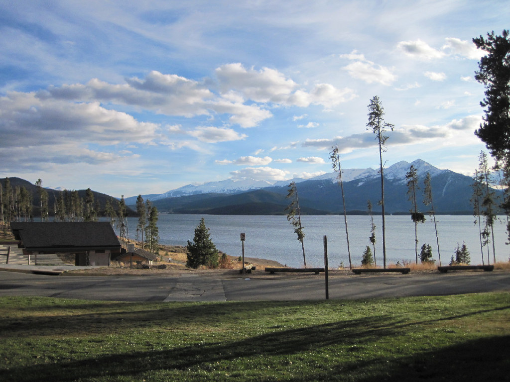
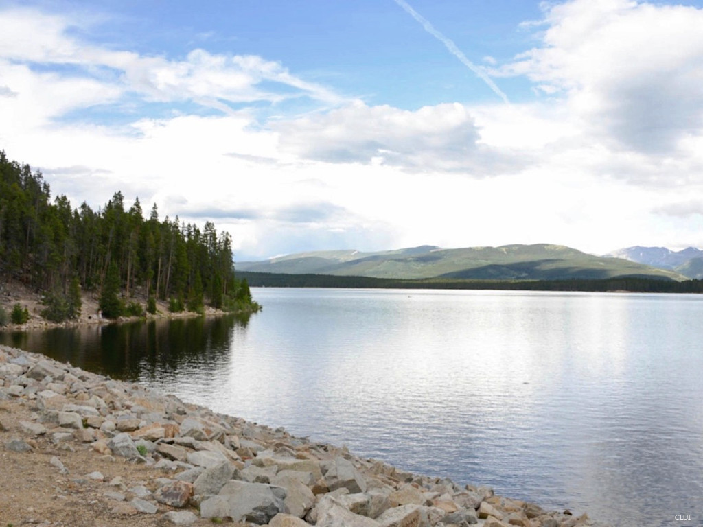
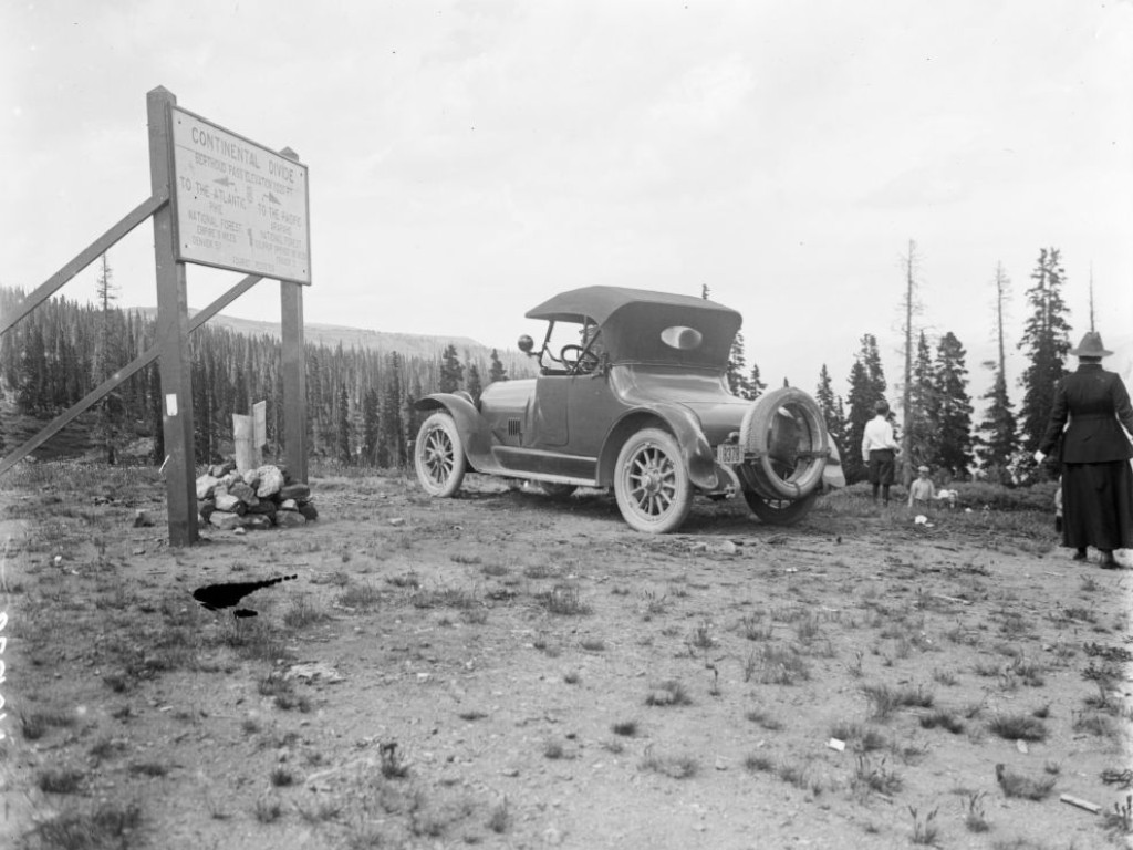
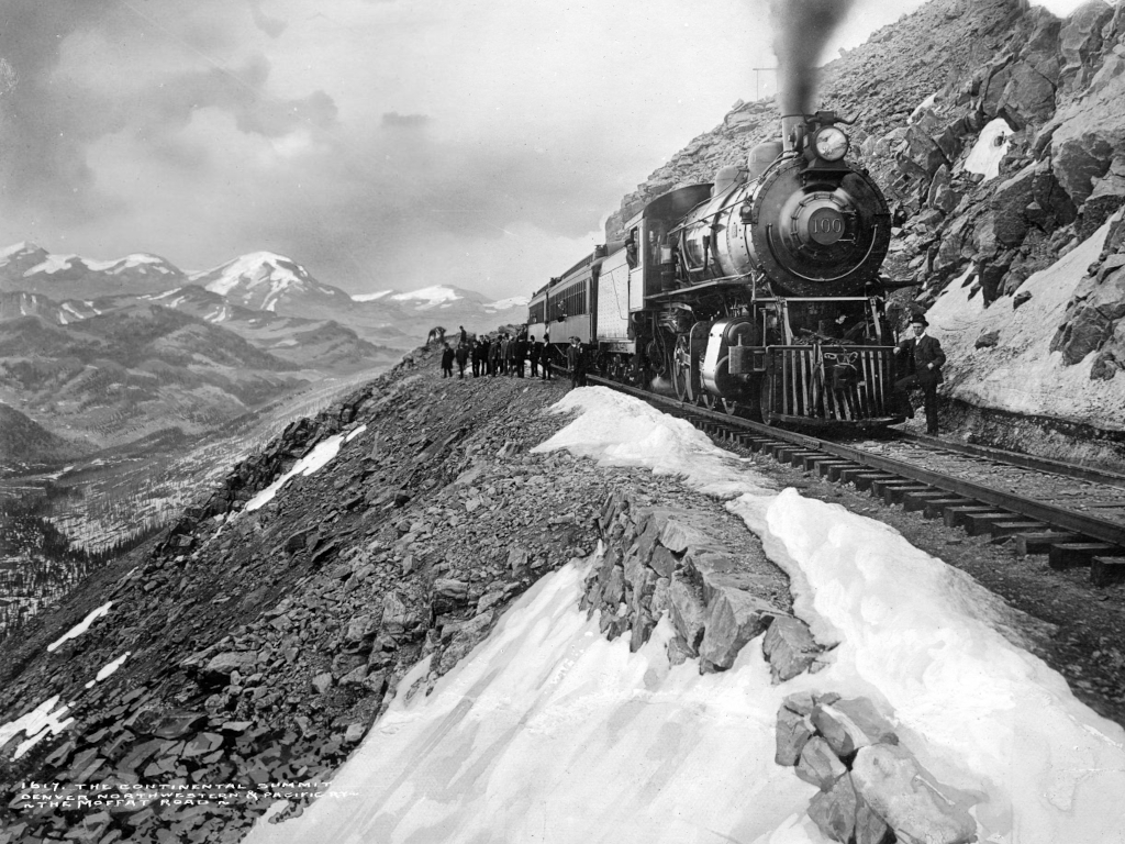
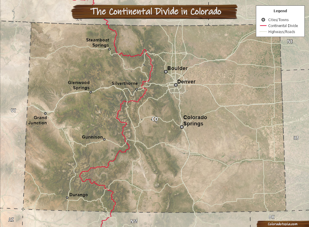
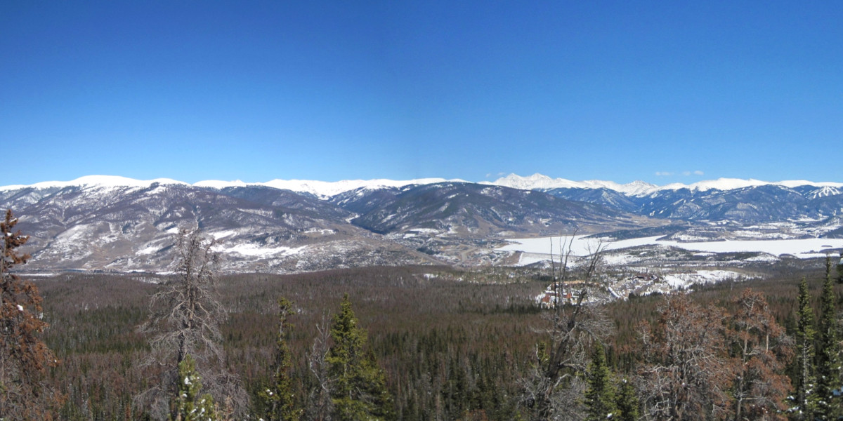
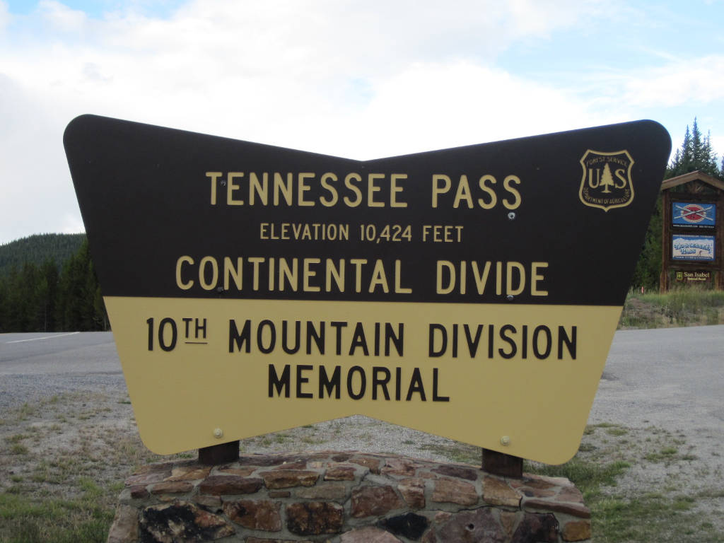
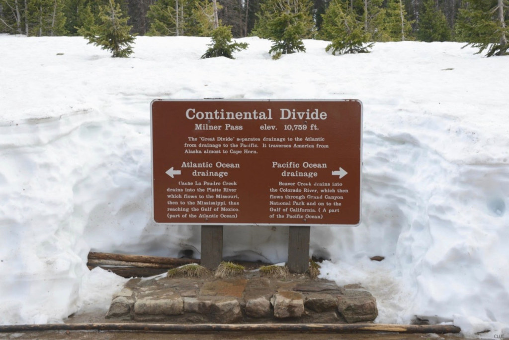
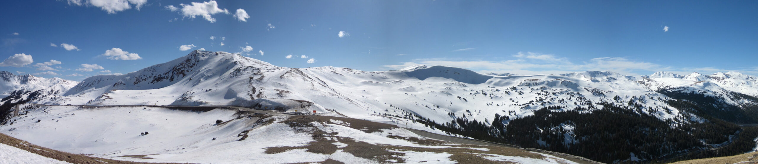
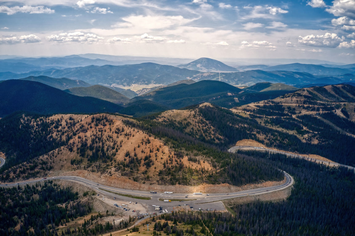
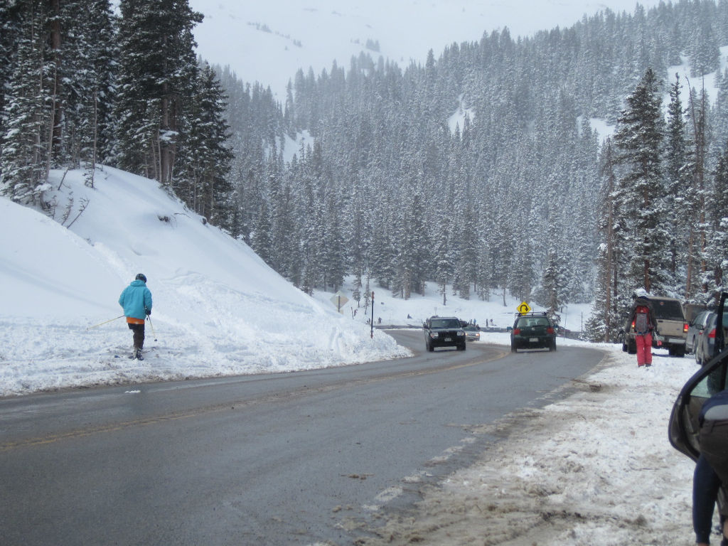
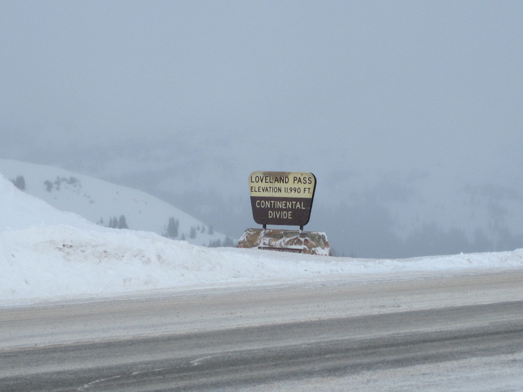
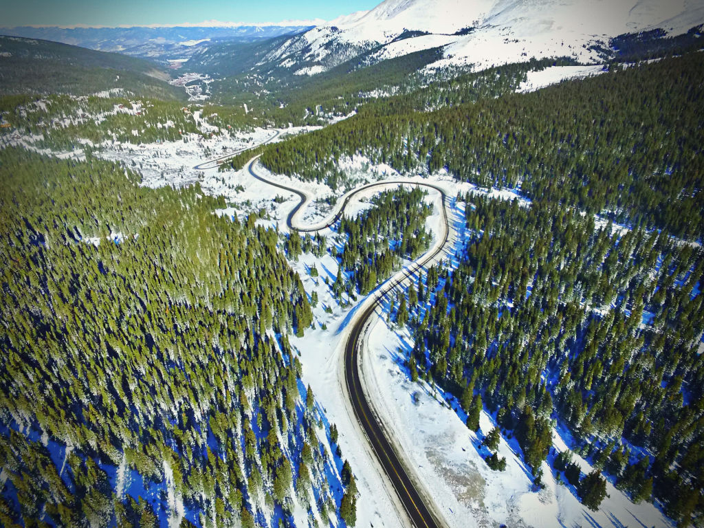
The Continental Divide Trail runs the entire distance of the divide through the US. On the southern border, the trail ends just above Mexico at the Crazy Cook Monument (Located: N 31.29′ 48.9″ W 108 12′ 31.8″). On the northern border, you can connect with the Great Divide Trail in Canada, and this will get you from the border to the Kakwa Provincial Park in British Colombia.

No. Mount Blue Sky, Colorado’s highest point, is located approx. 5 miles east of the Continental Divide.

Cottonwood Pass hairpin curve in Colorado during the spring season
Cottonwood Pass

Skiing the Continental Divide in CO

Backcountry skiing on the Continental Divide is popular, but you need to be prepared for avalanche hazards and backcountry travel if you want to survive here.

Berthoud Pass and Loveland Pass are two of the more popular backcountry skiing areas on the divide. These are both known for their high, windy environments. However, not all the Continental Divide’s environment is so harsh. Rabbit Ears Pass has some backcountry skiing, but the weather there is often more pleasant. Nordic skiing and snowmobiling are more popular on Rabbit Ears Pass, because most of the terrain is flatter.

There are also several ski areas on the divide in Colorado that you can see listed here.

*Arapahoe Basin (on Loveland Pass) is not actually located on the Continental Divide, but it is adjacent to it and connected by ridgeline. If you stand in the Arapahoe Basin parking lot and look directly to your left, you’ll be staring at Grizzly Peak, which is located on the divide. The divide line takes a slight turn here to the southeast, so A-Basin’s East Wall is not actually on the divide.

Monarch Mountain skiing with Monarch Pass Colorado in the background
Monarch Ski Area on Monarch Pass

Continental Divide Trail

This 3,100-mile trail runs from the US-Canadian border to the northern border of Mexico. Visit Continentaldividetrail.org for more info.

Continental Divide Trail sign on Wolf Creek Pass
The trail sign above is located near the summit of Wolf Creek Pass, where you can access the trail from the Wolf Creek Trailhead.

The Colorado Trail

This hiking trail from Denver to Durango shares approximately 315 miles with the Continental Divide Trail. Trailheads for these two trails can be found on many of the mountain passes that are listed higher on this page.

The Colorado Trail near Waterton Canyon

Continental Divide Water Tunnels & Irrigation Projects

The mountain passes are in plain sight, but what locals and visitors don’t see is the vast network of irrigation tunnels that brings water through the Continental Divide. Some of these tunnels accompany auto and railroad tunnels, like the Eisenhower Tunnel and the Moffat Tunnel. Others cut through the divide on their own, mostly bringing water from the high mountains down to Denver and the Front Range municipalities.

The rivers may flow to the east and west on their respective sides of the Continental Divide, but thanks to humans, some of the rain that falls on the western side of the divide in Colorado crosses over the divide at least once before heading to its destination on the eastern side. 

In the section of the divide near Jones Pass and Berthoud Pass, the water crosses the divide 3 times before finally heading out of the mountains (Gumlick Tunnel -> Vasquez Tunnel -> Moffat Tunnel).

The Cheesman Dam on the South Platte River in Colorado
The Cheesman Dam on the South Platte River
water flowing in ditch with Parshall flume on Spring Creek Pass on Continental Divide
Measuring flow through the Tabor Ditch on Spring Creek Pass
Moffat Railroad Tunnel and water irrigation tunnel
The Moffat Railroad & Moffat Water Tunnels
Twin Lakes Reservoir in Colorado
Twin Lakes Reservoir
Dillon Reservoir in Summit County, Colorado
Dillon Reservoir
Turquise Lake Reservoir in Colorado
Turqoise Lake Reservoir

History on the Divide

The first modern settlers and explorers to cross the Continental Divide did not come through Colorado. Lewis & Clark crossed the Continental Divide at Lehmi Pass in Montana (1805), and the Oregon Trail crossed the divide over South Pass in Wyoming. The terrain over South Pass would be considered mild compared to any path over the divide in Colorado, but Lehmi Pass is no easy stroll, even if you are on horseback.

Before modern settlers, there were tribes including the Utes who undoubtedly crossed the divide in Colorado during the summer months. Many of their pathways through the Rocky Mountains pre-date the modern routes over the same mountain passes.

Many wagon roads were built over the divide during the late 1800s. Some of these were eventually turned into modern auto roads, including the Million Dollar Highway and Highway 6, the predecessor to Interstate 70 and the Eisenhower Tunnel.

Continental Divide sign on Berthoud Pass in 1917
A car sits on top of Berthoud Pass in 1917
Moffat Railroad approaching Rollins Pass on the Continental Divide
Moffat Road approaching Rollins Pass on the Continental Divide circa 1904-1913

Recreation on the Divide

the old chairlift at the top of Berthoud Pass

Above: The now shuttered Berthoud Pass ski area circa 1964. The rope tow was installed here in 1937, and the ski area closed for good in 2001.

Below: The Roundup Riders of the Rockies hold an induction ceremony on top of Colt Mountain on the Continental Divide in 1957.

Roundup Riders of the Rockies horseback club on the Continental Divide in 1957

Historic Toll Roads On the Divide

Toll roads played an important role in Colorado’s development. Many of today’s mountain passes began as toll roads that were used by wagons to haul mining ore out of the Rockies.

Berthoud Pass. A toll road over Berthoud Pass was completed in 1874, long before a modern highway would be built here. This is the oldest toll road on this list. Read more.

Independence Pass. The road was first built in 1882. It was maintained and open year-round thanks to the tolls. Sleighs were used during the winter instead of wagons. Read more.

Monarch Pass. This toll road was completed in September,1880 while grading the pathway for a railroad. Read more.

Loveland Pass. A carriage with a span of horses could pass for $1. Horsemen paid $.30 per person, and $.10 each for cattle, horses, and mules. Sheep, hogs, and goats cost $.15 each.¹

References & Credits

1. The Rocky Mountain News (Daily), Volume 20, May 15, 1879, p. 4. Colorado Historic Newspapers Collection. Colorado State Library.

Images Credits: Coloradotopia.com, Library of Congress Prints & Photographs Division/Carol Highsmith [LC-DIG-highsm-39038], Denver Public Library Special Collections [DPL Rh-511, MCC-1617, Z-4403], Coloradohistoricnewspapers.org, Center for Land Use Interpretation | More info