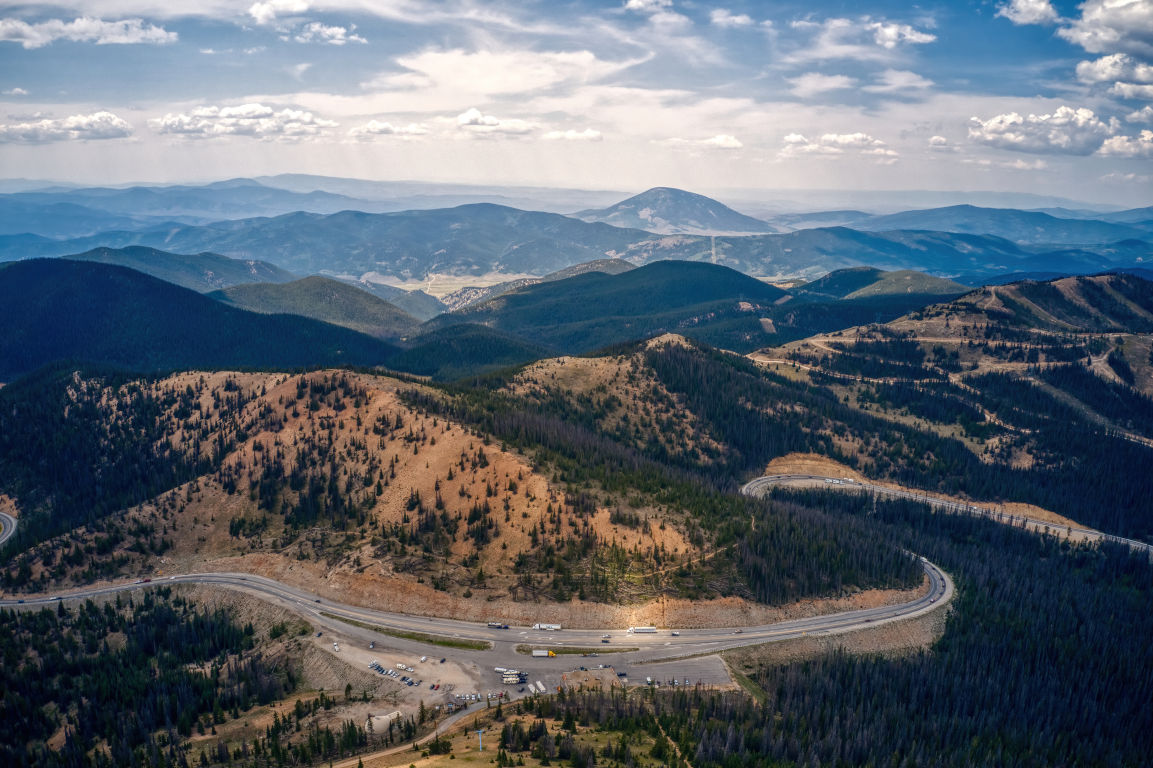
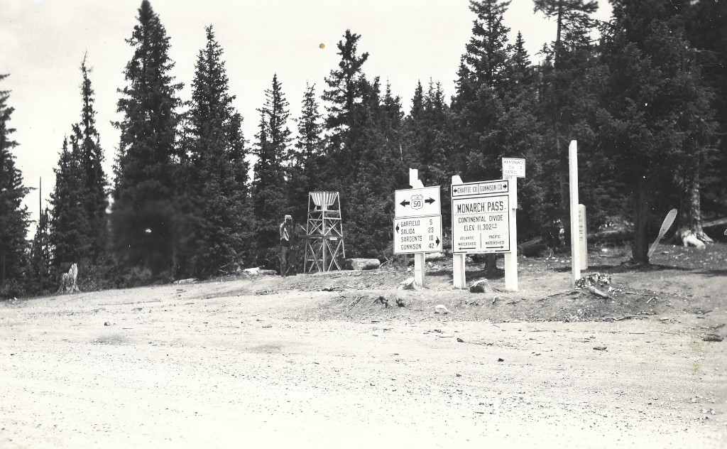
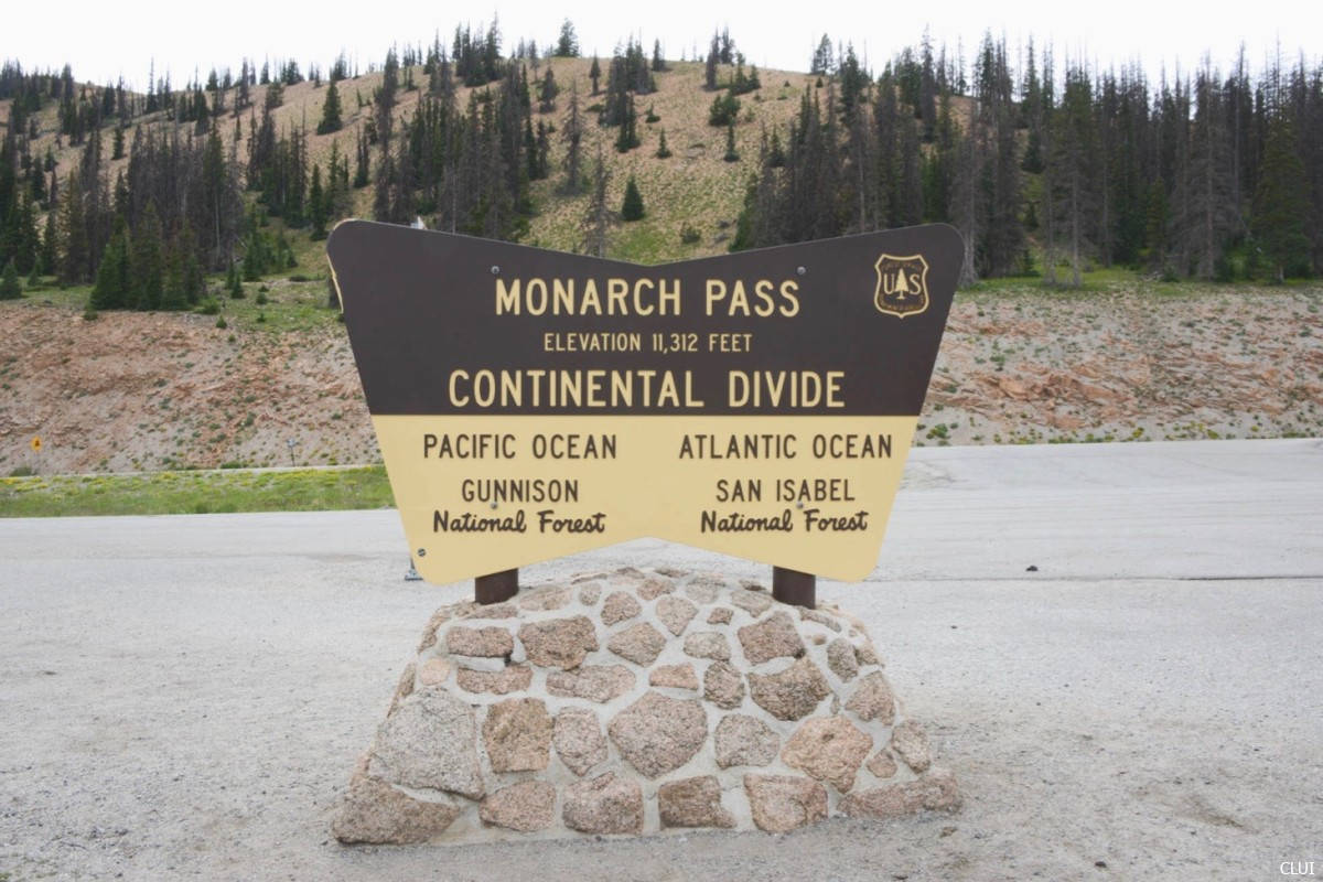
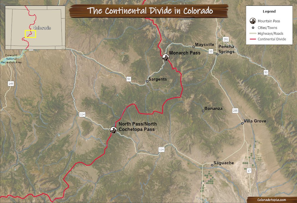
Monarch Pass is located in the heart of the Rockies, on a section of US Highway 50 that crosses the Continental Divide. This pass stretches from the east side of the divide in Poncha Springs to the west side in Sargents, CO. The pass also connects the larger towns of Salida and Gunnison.
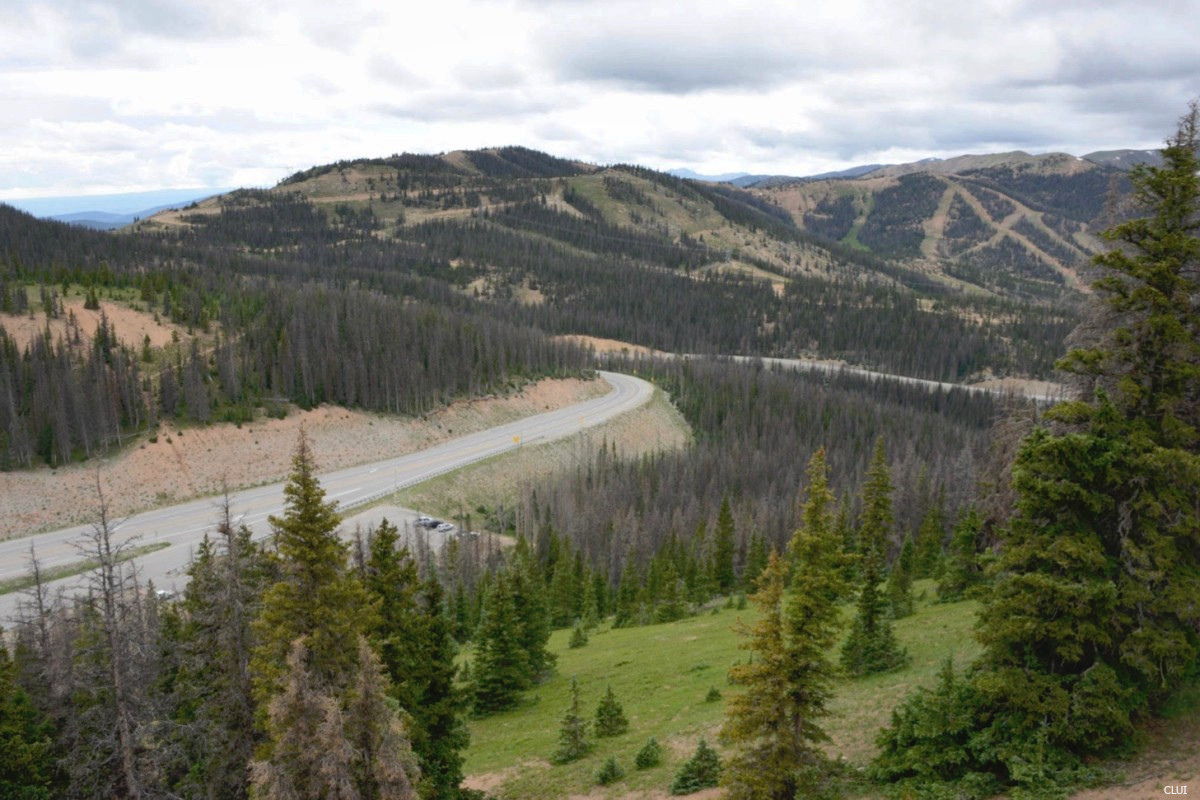
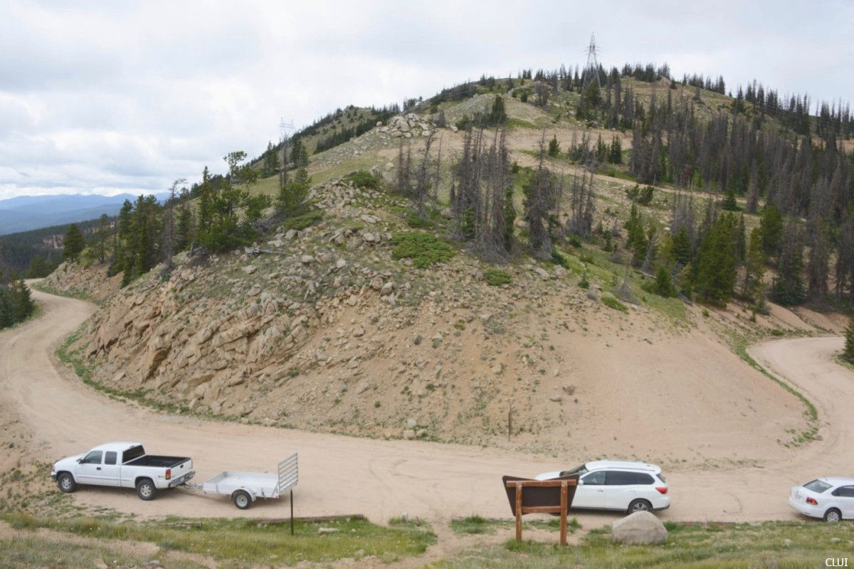
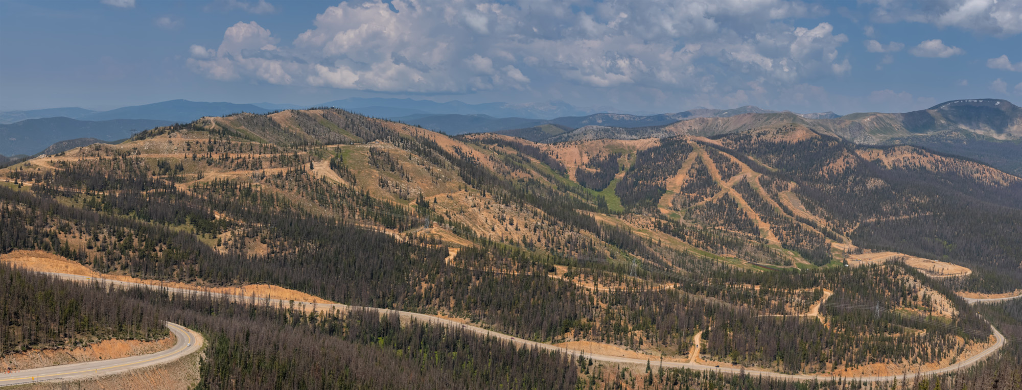
Monarch Pass traverses through the counties of Chaffee, Saguache, and Gunnison, providing breathtaking views of multiple mountain ranges. Old Monarch Pass, a well maintained gravel road located near the summit on the east side, is a destination road for 4×4 vehicles. The Monarch Mountain ski area is also located near the top of this pass.
Seasonal Info
Monarch Pass is open year-round. You can expect the pass to close temporarily during the winter if there are severe snowstorms.
Alternate Routes –North Pass is the next closest paved route to the south that is open year round. If Monarch Pass closes during the summer, you can still get between Salida and Gunnison by taking a route over Marshall Pass. Marshall Pass is a dirt road that is closed in the winter months. Cottonwood Pass can be a good alternate route during the summer, but this is also closed during the winter.
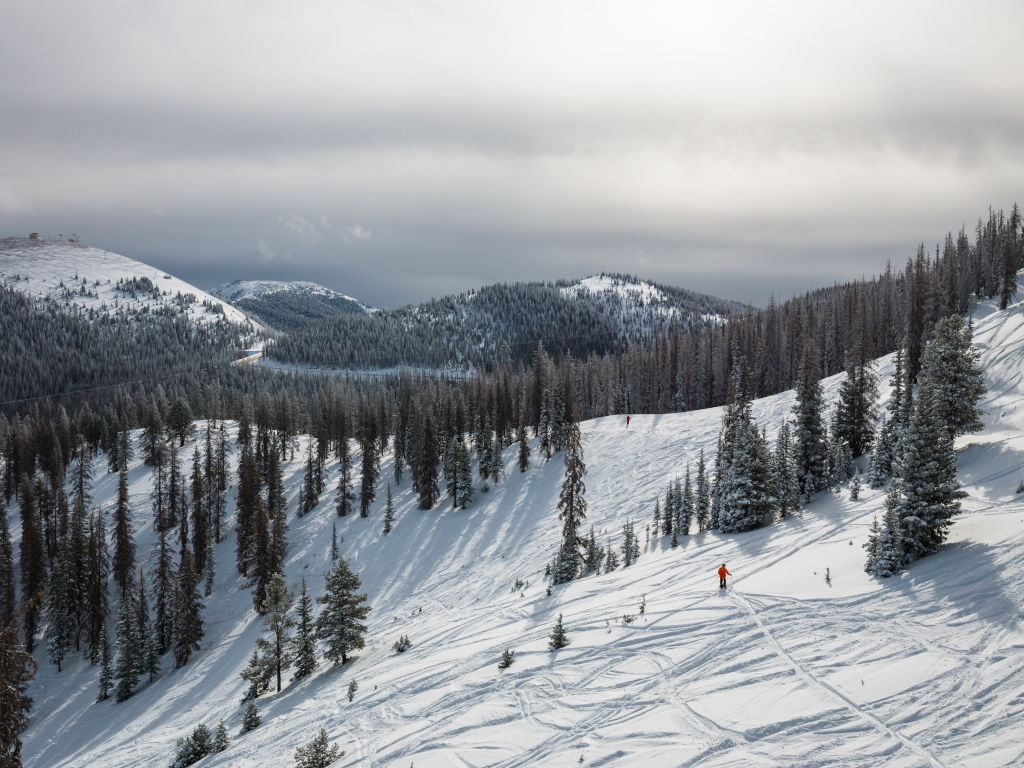
Monarch Pass is a popular winter destination, thanks to the Monarch Mountain ski area. Monarch Mountain boasts the highest base area of all the Colorado ski resorts, at 10,790 feet.
Here are some of the other recreational activities that you can do on Monarch Pass:
We have measured it at 27.4 Miles. This measurement starts at the junction of US-285 and US-50 on the east side, and ends where Marshall Pass meets up with US-50 in Sargents on the west side.
There are gas stations at the bottom of the pass on both sides. There is an open parking lot at the top of the pass, in addition to the Monarch Crest Visitor Center. There is food at the visitor center, and a tram that provides a sightseeing opportunity for travelers.
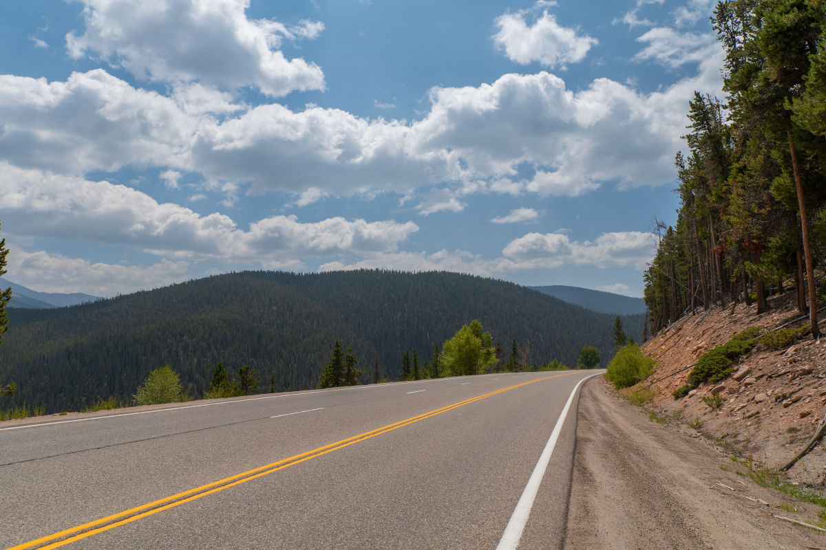
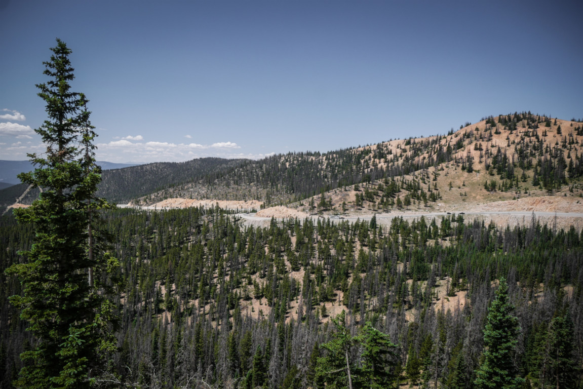
Monarch Pass is a developed pass with three lanes much of the way. However, it is a winding pass with steep grades and multiple cliff edges, so it can be dangerous, especially in winter.
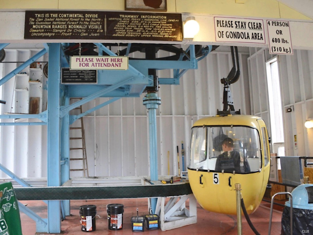
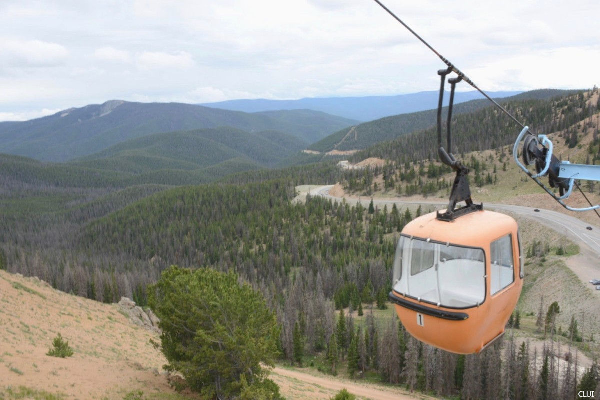
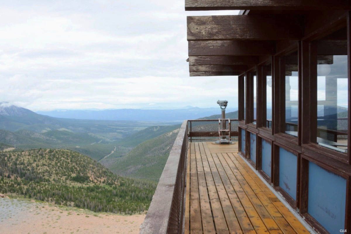
You can see the Sawatch Range, Sangre de Cristo Range, Elk Range, Uncompahgre Range, Front Range, and the San Juan Mountains from the top of the tram on Monarch Pass.
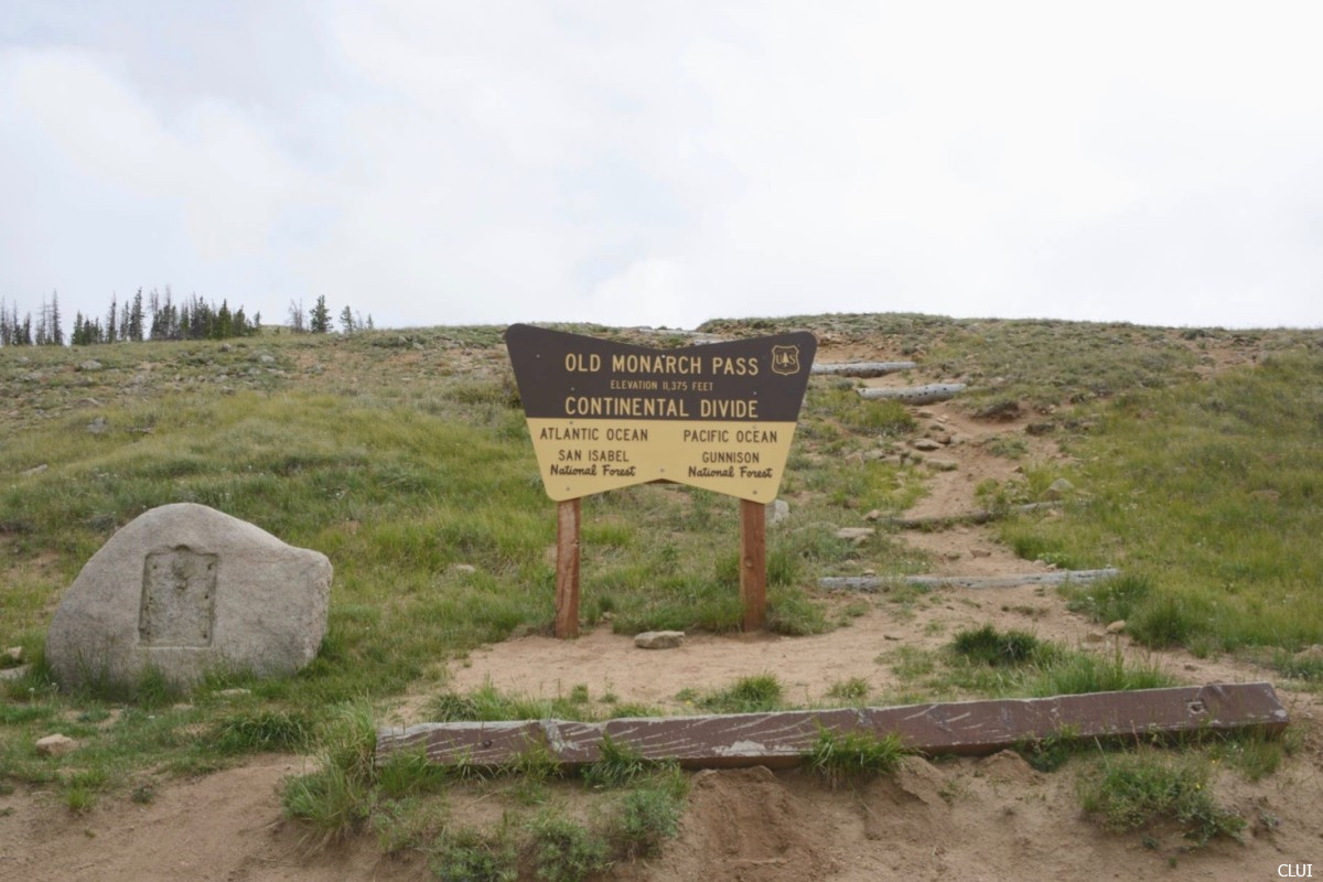
Old Monarch Pass: Old Monarch Pass is a wonderful place for cross-country skiing and snowshoeing. The pass meets up with the Continental Divide Trail and Colorado Trail, and has phenomenal views of the Rockies. Old Monarch Pass is accessible by vehicle, by hiking on the Continental Divide Trail in the summer, and by snowshoeing, cross-country skiing, and snowmobiling in the winter.
Backcountry Skiing and Snowboarding: Monarch Pass has a wide range of backcountry terrain. Take your pick of glades, trees and bowls.
Camping: Monarch Pass has a mix of developed, traditional, and dispersed camping where travelers can explore the San Isabel National Forest. The Monarch Park Campground is located on the northeast side of the pass.
Fishing: There are small lakes to the north of the pass where you can hike and fish. Fishing spots to put on your list near Monarch Pass include Grass Lake and the Boss Lake Reservoir.
Hiking: Monarch Pass is a destination and staging point for many hikers. The visitor center will allow thru-hikers to send resupply boxes here to be picked up. The Colorado Trail, Continental Divide Trail, and Collegiate Peaks Trail are all on the docket here.
Mountain Biking: Mountain bikers love Monarch Pass, where the MTB trails start at the summit and lead bikers across the Continental Divide. Take the Monarch Crest Trail, which shares the pathway with the Continental Divide Trail and Colorado Trail through this section.
Snowmobiling: Monarch has some exciting snowmobiling terrain, which is most commonly accessed from the east side of the pass. Snowmobiling trails in this area include the Old Monarch Pass Road and the trail to the old Madonna Mine.
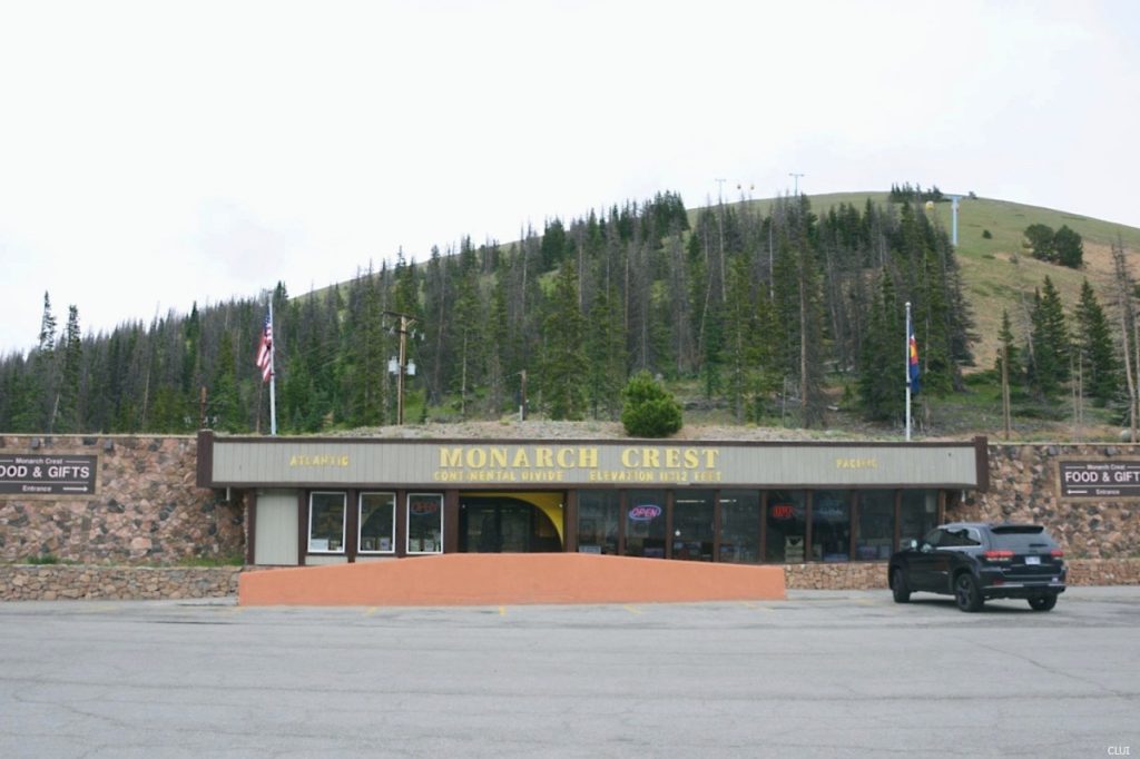
Monarch Crest Visitor Center & Tramway
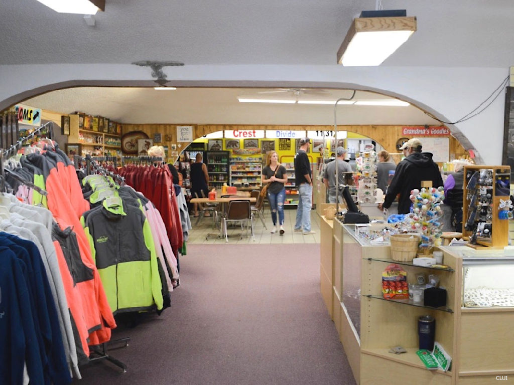
This visitor center is privately owned and run. The Monarch Crest Visitor Center sits at the summit of Monarch Pass near the bottom of the tramway. The visitor center has a section of educational exhibits to teach about the Continental Divide and local area, including 3D maps. There is a small coffee and smoothie stop here, along with grab & go deli sandwiches, snacks and more.
There is also a gift shop that sells shirts, gear, sunblock, nutrition bars, souvenirs, and other goods for hikers and travelers.
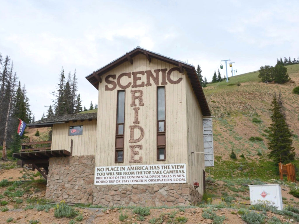
Monarch Crest Visitor Center at the top of the pass
Inside the visitor center
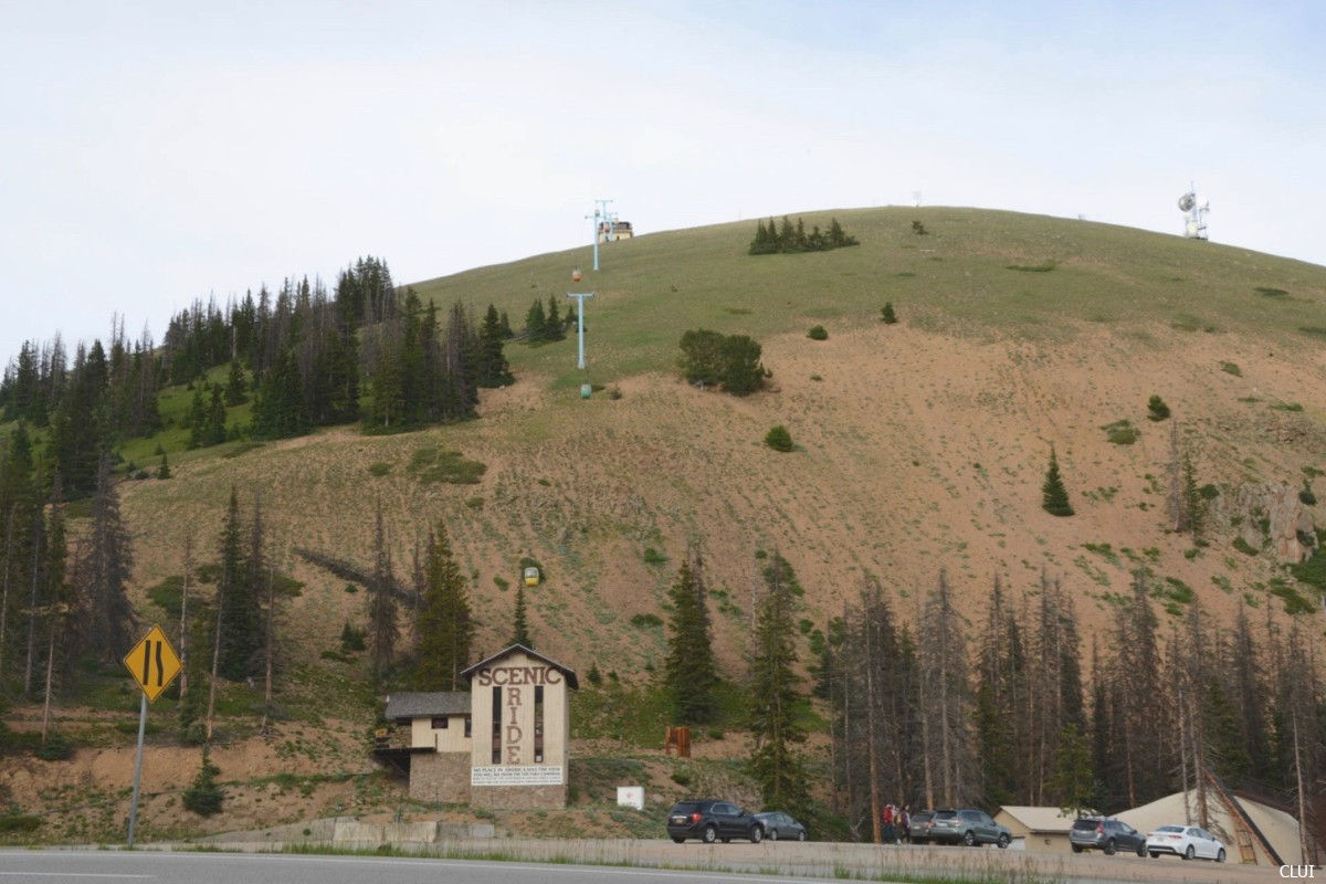
The tramway rises 700 feet from outside the visitor center to an elevation of 12,012 feet. Dogs are allowed! Tickets for the Monarch tram are only available in the visitor center. The ride takes about 15 minutes for the round-trip, and each cabin sits 4 people.
While it is called a tramway, it is more akin to a modern gondola… without the modern part.
The View from The Top
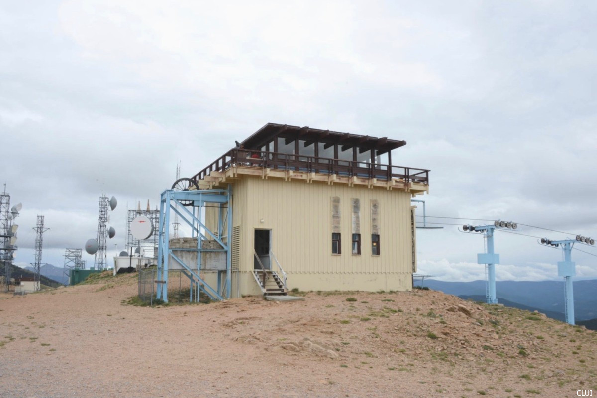
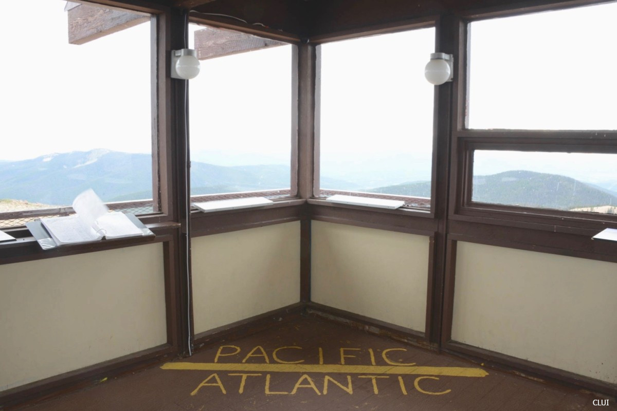
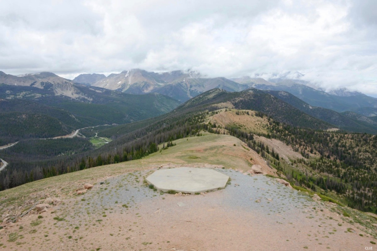
There is an observation deck at the top of the tramway that gives visitors a 360 degree view of the Continental Divide and surrounding mountain ranges. This was built along with the original tramway in 1966.
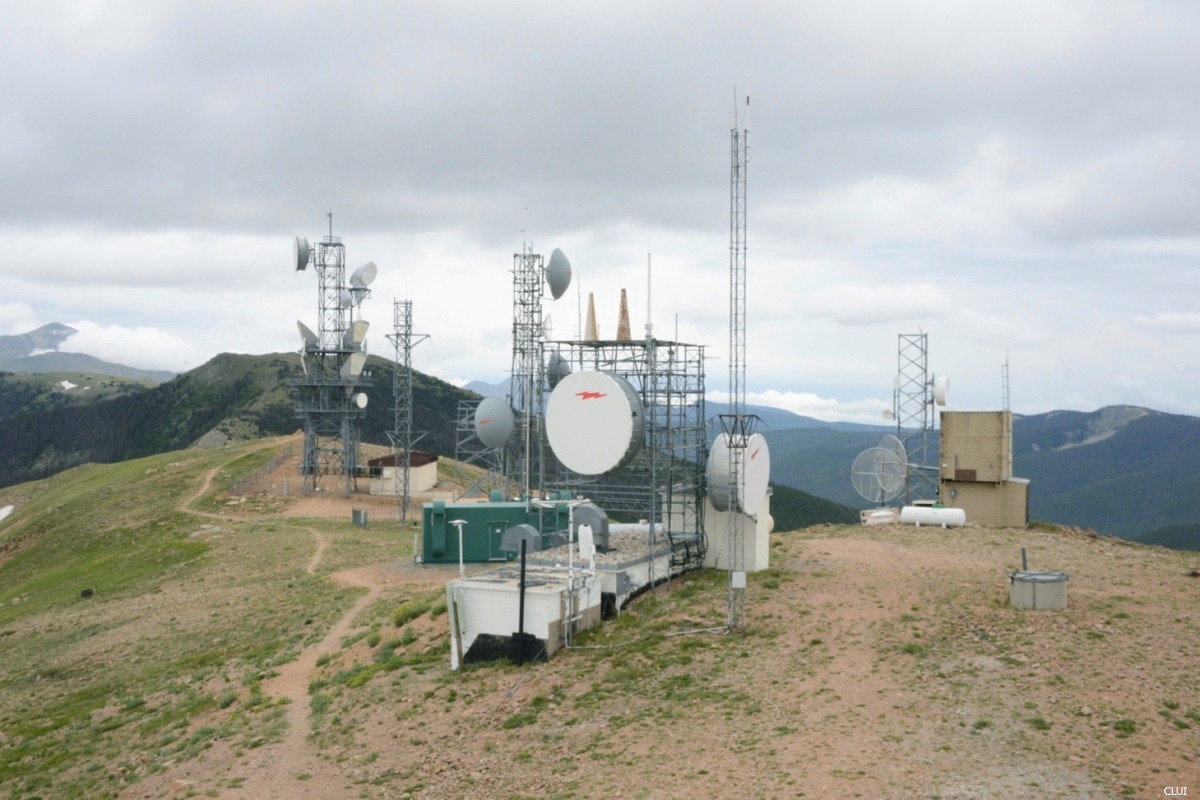
Among the communications equipment that you’ll find at the top of the tram and in the photos below, there is a weather station that is used by the FAA. This provides real-time weather updates to pilots who are flying in the area.
Above and below: Site of former and current communications towers, weather and telemetry equipment at the top of the tramway.
Monarch Pass History
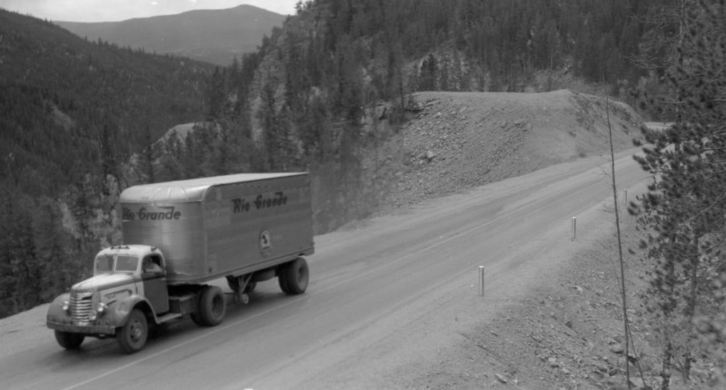
Monarch Pass in 1943, Rio Grande Motorway truck
Old Monarch Pass
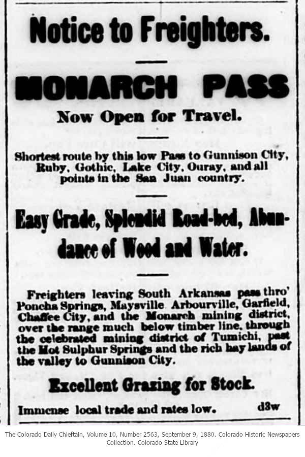
The original Monarch Pass was located just over 1 mile to the northwest of the current highway’s location. The road was built in 1880, and when it was built it was a rough wagon toll road.
On March 22, 1880, the Monarch Pass, Gunnison, and Dolores Railroad Company filed articles of incorporation with the intent to build a railroad over the pass.1 On July 31st, the Gunnison News reported that 70 men were working on building a toll road over the pass, grading the pathway where the railroad tracks were intended to eventually go.2 By September 9th, the pass was opened to wagons (we know it opened sometime between Sept. 5th and 9th).3
In 1921, Governor Shoup began to call for a paved road over the pass.4 At the same time, crews were working on improving the existing road using a new route, and state representatives were even debating a railroad tunnel through Monarch Pass.
A new, improved dirt road on a slightly different route over Monarch Pass was nearly completed by the winter of 1921. Six cars went over the pass on October 25th, and 4 cars went over on October 26th. The engineer and crew constructed 300-400 feet of temporary road that went between the new road and old road at the time. This allowed motorists to use the new road while going around the unfinished portion near the top. Crews worked on the road during the winter, and had it ready for the spring.5
The route that was built in 1921 is now known as Old Monarch Pass.
The first time that the pass was kept open throughout the winter was in 1930.6
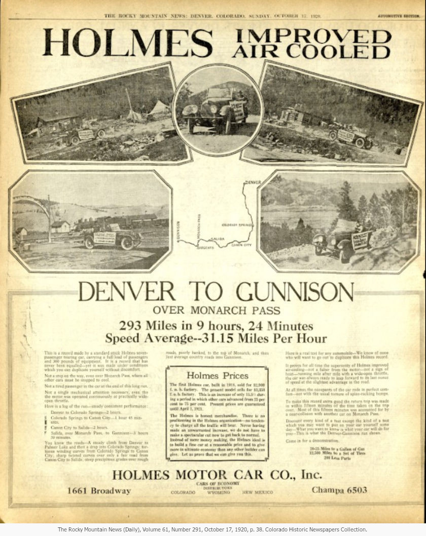
Take a look at the auto advertisement from 1921 above. The drive in modern-day takes just under 4 hours. Doing this in 9.5 hours at an avg speed of 31 mph in 1921… not bad at all.
Did You Know?
The gondola cabins on this tramway are the original cabins from 1966, and they have never been replaced. If you looked at the pictures above, you probably did know that.
Frontside
The New Monarch Pass
The 1939 Colorado highway building program had $9,000,000 in funding. Of those funds, $1,450,000 was designated for the construction of 28.7 miles of US 50, which would go over Monarch Pass. Contracts were awarded early in the year of 1939 (although the first was awarded in 1938), and work on the pass was complete by the end of November. The new section of highway cost $51,600 per mile to build.7 There was approx. 8 miles of oiled surface on the road during the winter of 1939, and the rest would be successfully covered in 1940.8,9
“Oiling” during the early 1900s typically did not result in a hard paved surface. The oil was meant to keep down dust. However, towards the middle of the century, the term was more widely used for a variety of similar paving methods. In this case, the completed road was a hard paved road.10
Overseeing this project was Charles Vail, who was the State Highway Engineer at the time. The highway was briefly named Vail Pass, but some people took issue with this. Politics ensued. Black paint was smeared over the Vail Pass sign (nobody knows exactly who did that), and eventually an executive order was signed by the Governor of Colorado to name the pass Monarch Pass.11
The original gift shop at the top of the pass was opened in 1954, but the tramway was not built until 1966.
In 2022, the visitor center and tramway were sold to Monarch Mountain.12
The pass is a popular destination for outdoor enthusiasts. The Monarch Crest Crank is a mountain biking race that celebrated its 25th anniversary in 2023. Popular races, competitions, and events on Monarch Pass include: