La Poudre Pass
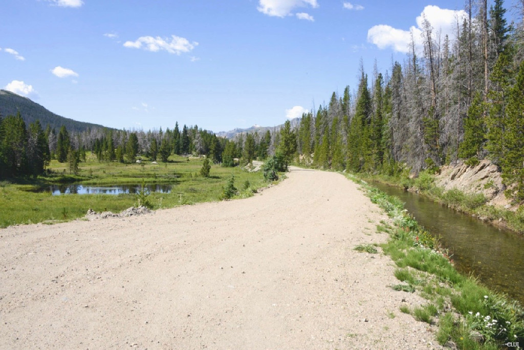
This pass traverses the Continental Divide just to the north of Rocky Mountain National Park. La Poudre Pass is best known for being the starting point of the Colorado River. You can travel nearly to the top of this pass by road, but there is no thru traffic allowed over the pass.
To get here, first find Long Draw Road. This is a dirt road that heads south from Highway 14. Long Draw Rd. will take you to a trailhead just before the actual divide. As you continue from here on foot, you will be entering Rocky Mountain National Park.
Take note: Long Draw Rd. and the Long Draw Campground have been gated off and closed lately.
Important Driver Info
La Poudre Pass cannot be traversed by private vehicle. The approaching dirt road stops just short of the top of the pass and continues as a private road from there. The approach road may also be closed, even during summer months.
La Poudre Pass
- Divide Elevation: 10,175'
- Surface: Dirt/Improved Road
- Mtn Range: Front Range
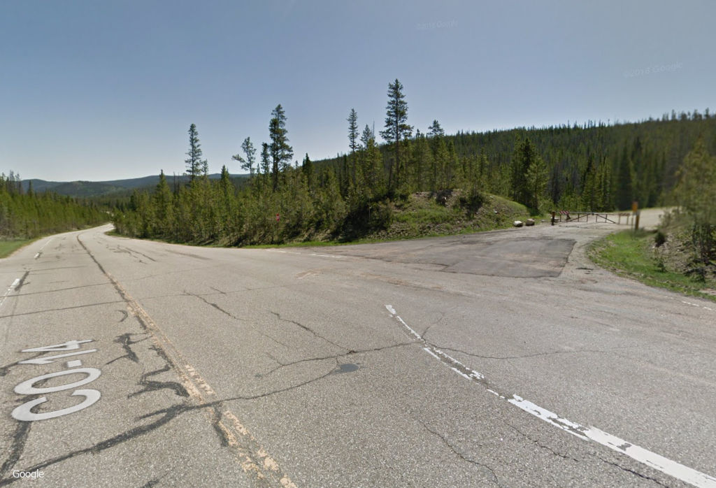
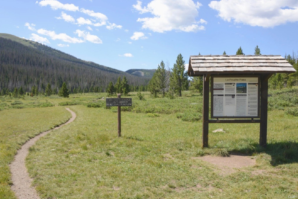
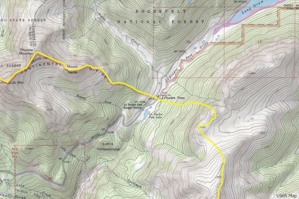
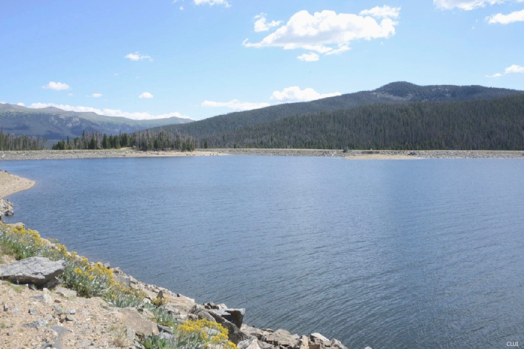
You can see the La Poudre Pass Trailhead below. This is located on the eastern side of the divide, just beyond the Long Draw Reservoir. You will need to hike in order to get to the actual Continental Divide line from here. The only road that actually crosses over the Continental Divide beyond here is the maintenance road for the Grand Ditch irrigation project, and this is not open to the public.
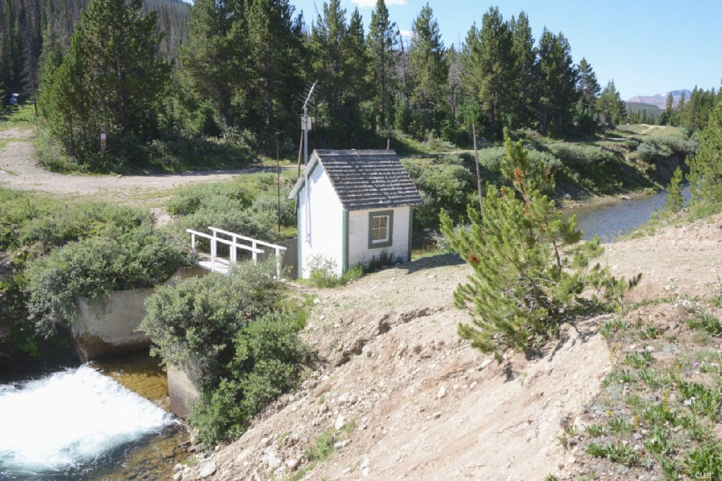
If you hike a short distance beyond the trailhead, you will find a metering station that measures the flow of water eastward in the Grand Ditch. This area is where the USGS has determined that the Continental Divide line actually runs. The Long Draw Reservoir and the Grand Ditch are part of an extensive irrigation system that brings water across the Continental Divide, and down to Denver, Boulder and Colorado Springs.
The Start of the Colorado River
Keep hiking beyond the metering station, and here you will find the start to the Colorado River on the western side of the Continental Divide. The photo below shows the start of the Colorado River on La Poudre Pass. The pond on the left is where the river originates. The ditch on the right is the Grand Ditch. The headwaters to the Colorado River flow away from the camera on the left side (flowing west). The water in the Grand Ditch flows toward the camera on the right side (flowing east).

Below you can see a better view of the pond where the Colorado River begins. This marshy area and the pond that is shown here around it are part of La Poudre Pass Lake. These are the headwaters of the Colorado River.
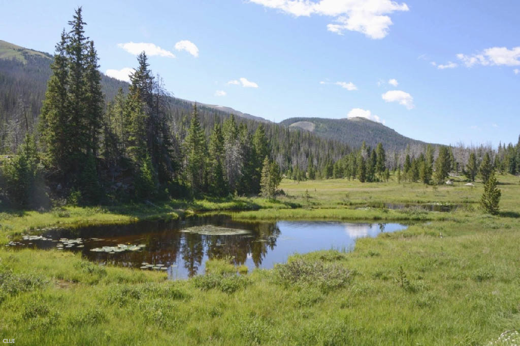
La Poudre Pass Lake is located on La Poudre Pass. Poudre Lake is located one valley over to the southeast – La Poudre Pass Lake is where the Colorado River begins and this is on La Poudre Pass. On the other hand, Poudre Lake is located on the other side of Specimen Mountain, on Milner Pass in the next valley to the southeast.
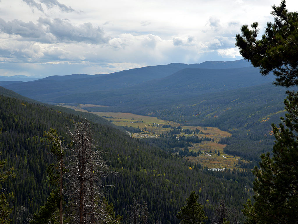
La Poudre Pass can be found at the upper end of the Kawuneeche Valley. The photo below shows the meadows of the valley, just within the borders of Rocky Mountain National Park. This area is slightly down-valley from the top of the pass. The Grand Lake entrance to the park is just beyond the frame of view here, only slightly farther down the valley.
The Colorado River continues down through here as it starts to gain momentum on its journey to the Pacific Ocean.
The Grand Ditch and Long Draw Reservoir
The Modern Continental Divide is an extensive system of irrigation ditches and tunnels – The rivers might naturally flow to the east and west on their respective sides of the Continental Divide, but this doesn’t mean that the rain and snowmelt do exactly that at this point. Much of the water that falls just to the west of the divide is diverted to the Front Range, and this involves an extensive network of irrigation channels, tunnels, reservoirs, pump houses, and other infrastructure.
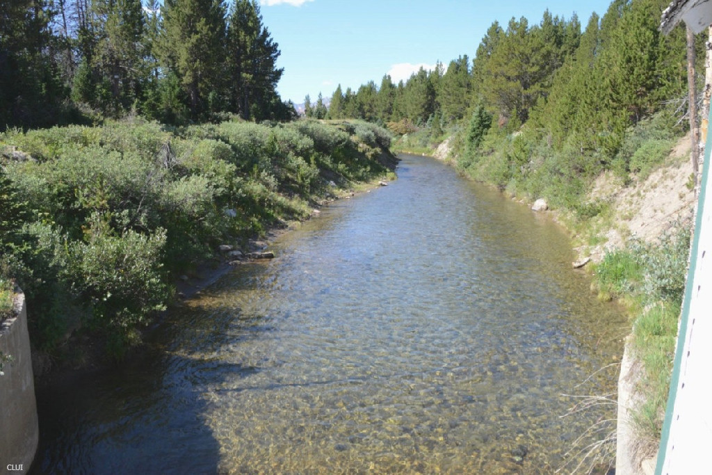 You can see Grand ditch in this photo, and the Long Draw Reservoir lower on this page. The reservoir is located on the eastern side of the divide, and it holds water that is channeled through the Grand Ditch to that side. The water flows out of there and into La Poudre Pass Creek, which quickly joins with the Cache La Poudre River (this flows from Milner Pass).
The Cache La Poudre River flows east/northeast from that point on its way out of the mountains, largely following the path of Poudre Canyon Rd. (HWY 14) until the river reaches Fort Collins at the bottom of the foothills. On the other side of Fort Collins, the river joins with the South Platte River, then the Missouri River, followed by the Mississippi River, and then finally it flows into the Gulf of Mexico.
La Poudre Pass History
People have been poking around up here for centuries now. Before Americans were mining real gold in these foothills, we were mining liquid gold. That is… clean, fresh, H2o.
The Grand Ditch was originally called the North Grand Ditch. This is different from the original “Grand Ditch”, which was an irrigation ditch that was built earlier in the 1880s to the north of Grand Junction. That was built by the Grand River Ditch Company.
Plans for the new ditch here were announced by the Larimer County Ditch Company in July of 1889, and by the next year the water was flowing eastward over the divide.1 Over the course of 5 decades, it was extended to its current length of 14.3 miles.
The highway on La Poudre Pass that never was…
In 1938, the Northern Colorado Highway Association approved and recommended the building of a road that would connect Trail Ridge Rd. (to the south of La Poudre Pass) and North Park (an area far to the north of La Poudre Pass). The road was to be built in the vicinity of La Poudre Pass, but ultimately no paved road was ever built over this part of the Continental Divide.2
References & Credits
1. Fort Collins Courier, July 25, 1889. Colorado Historic Newspapers Collection. Colorado State Library.
2. The Estes Park Trail, Volume XVII, Number 42, February 4, 1938. Coloraod Historic Newspapers Collection. Colorado State Library.
Images Credits: Center for Land Use Interpretation, Google Maps | More info
