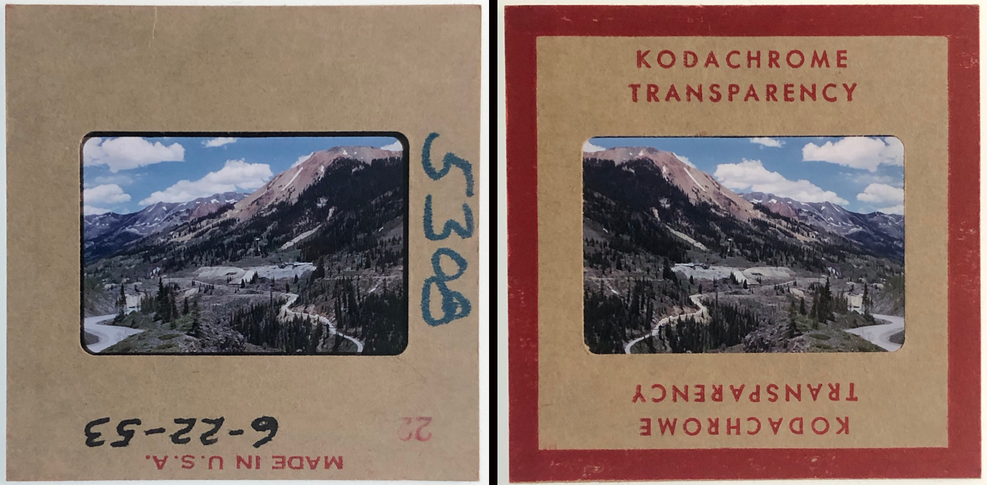
1953 Million Dollar Highway Kodachrome Slide CRE-5308
Brief Description
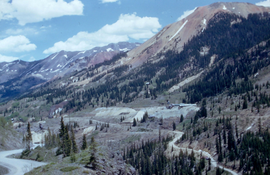
This Kodachrome slide from 1953 shows the area to the north of the Red Mountain Pass summit in SW Colorado. This includes the Million Dollar Highway and the area of the Idarado Mine.
The slide has a handwritten date of 6-22-53 on it.
Comments & Discussion
US Route 550 can be seen along the left side of the image. This area of the highway is known as Red Mountain Pass, and this is the highest portion of the Million Dollar Highway, which spans a slightly longer distance than the pass.
Mining in this area boomed during the 1880s, but the mines in this area had largely closed down by the early 1900s. Mining restarted as part of the war effort during the 1940s. This image includes the Idarado mining complex, which included several old mines along the highway that were resurrected at that time. When this image was captured in 1953, the mines were back in business.
The Yankee Girl Mine would have been located just to the right of this frame.
Condition, Aging & Authenticity: No visible damage to the film or its mount.
About the Coloradotopia Archives Collection. The Coloradotopia archives hold a large collection of historical images and items that document Colorado’s ski and automobile history in the mountains. Subscribe to the Coloradotopia newsletter to receive weekly updates on new items as they’re added to the archives.